
 Continue with onX Maps
 Sign in with Facebook


 Very Difficult
Very Difficult
Very Difficult
 Very Difficult
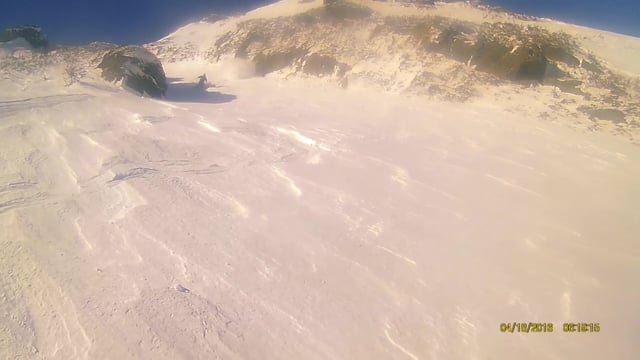
 Hillmans' Highway
0.4 mi 0.6 km • -1,096 ft Descent • -333.95 m Descent

 Pinkham…, NH
 Dodge's Drop
0.4 mi 0.7 km • -1,259 ft Descent • -383.67 m Descent
Pinkham…, NH
Cathedral Gully
0.4 mi 0.7 km • -1,138 ft Descent • -346.8 m Descent
Pinkham…, NH
Chute Variation North
0.3 mi 0.4 km • -767 ft Descent • -233.92 m Descent
Pinkham…, NH
The Chute
0.3 mi 0.5 km • -761 ft Descent • -232.08 m Descent
Pinkham…, NH
Central Gully
0.3 mi 0.5 km • -898 ft Descent • -273.79 m Descent
Pinkham…, NH


0 Comments