Type: Backcountry or Sidecountry
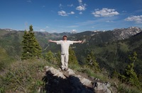
Overview

On a good snow year, you can ski or ride all the way to the car from your starting point at the summit of Peak 9699. Shoot for the sled hill on the way out at the bottom if there is fresh powder. Know before you go!
Description
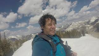
While the descent is mostly moderate, there are a few steep portions. Things mellow out at the bottom, so be aware! You'll have to skate ski or unstrap on a splitboard in Greens Basin. It is about 75 yards before you are going to have a slope to ride across the face to get out to the Spruces. Splitboarders will probably have one more unstrap and a small boot pack to get to the final line out.
Contacts
Shared By:
Christian Paul

 Continue with onX Maps
 Sign in with Facebook


 Difficult


0 Comments